Skip to content
Solutions · Efficiency

Fleet visibility and location tracking

When you can't see where your vehicles are, every customer query and change of plan starts with a call to the driver. EROAD GPS tracking shows where each vehicle, trailer and piece of equipment is now and where it's been, so your team can check the map first and only call when they need to.

EROAD-fleet-management-solutions-helping-a-North-American-fleet-operations-team

It's hard to run a fleet you can't see

You can't send the closest vehicle to a pick-up, or check a driver is safe when a storm hits. Your office team can't tell a customer when their delivery will arrive, and finding trailers and equipment turns into a manual search or a stock take. And when a vehicle heads into a mobile black spot, you still need to know where it is, especially if the driver works alone.

fleet_map_au_white_bg

What you'll be able to do

Customers get an answer sooner, and your team spends less of the day chasing drivers for updates.

Keep customers updated on arrival times

Answer 'where's my delivery?' from the map. See where the vehicle is, then use the route planner to give the customer an estimated time of arrival (ETA).

Send the nearest vehicle to the job

Spot the vehicle closest to a pick-up or drop-off and decide who takes the job, without ringing round the drivers first.

Check on drivers working alone or in bad weather

When a storm hits or someone's on a job alone, you can check where their vehicle is without waiting to hear from them. Out of mobile coverage, there's a satellite option too.

Spend less time on stock takes and site checks

Tracked trailers and equipment show where they are, so there's less walking the yard. Visits to sites you've marked on the map are logged too, for when you need to check site rules.

How EROAD can help

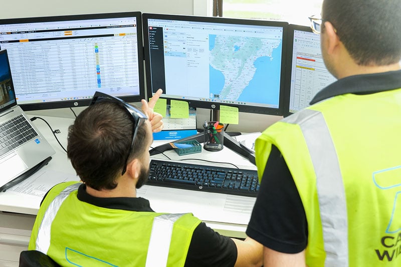
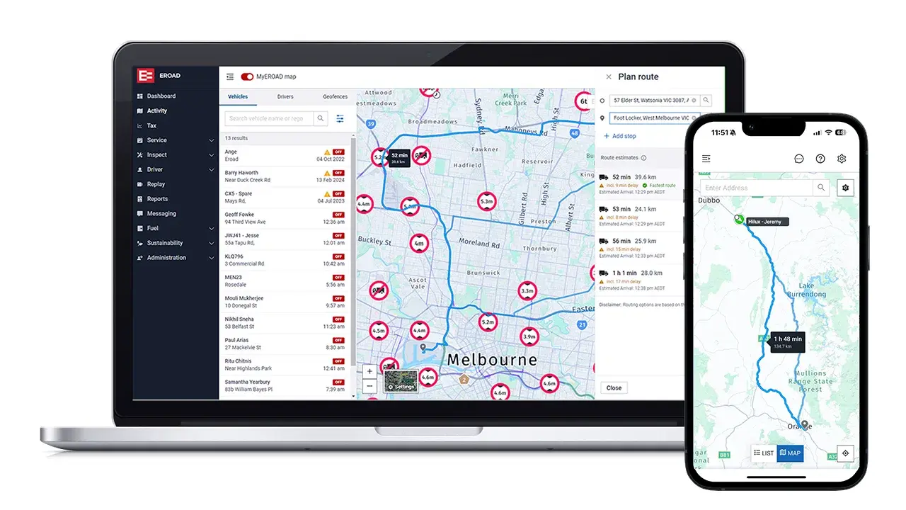
Anyone on your team who needs to know where a vehicle is can look it up for themselves in MyEROAD, at a desk or on the mobile app.

Every vehicle, trailer and asset on one map

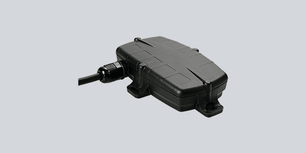
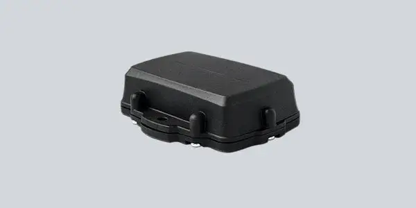
See where each vehicle is in near real-time, with driver and vehicle details alongside. Trailers and equipment fitted with an Etrack tracker show up on the same map, so there's one place to look.

Explore MyEROAD Fleet Map

Where each vehicle has been and where it stopped

Open a vehicle's trip history from the map to see where it went, where it stopped and when. For a driver on a multi-drop run, you can see which stops they've already made.

Explore EROAD telematics

Site arrivals and departures, recorded for you

Put a geofence around a depot, customer or job site and every entry and exit is logged, with running time and auxiliary equipment run time. Get an alert as it happens, or review a day, week or month at once.

Explore MyEROAD features

Routes and arrival times planned for trucks

A car's route won't always suit a truck. Put in the vehicle's height and weight, and the route planner finds a way around restricted roads and bridges, with a more accurate ETA. Truck rest stops are marked too.

See the route planner

Tracking beyond mobile coverage

Add the Iridium Edge satellite modem to an Ehubo2 and the vehicle stays on the map when the mobile signal runs out. It's worth a look if your vehicles regularly work out of range.

Explore satellite communications

Private Mode for personal trips

When a work vehicle is also used for personal trips, drivers can switch on Private Mode so that trip's location and driving behaviour aren't tracked.

How Private Mode works
100,000 vehicles or assets the map can show at one time Source: MyEROAD Fleet Map product page, eroad.com
250 m How far a vehicle travels between location records, and every turn, stop and ignition adds another Source: Ehubo2
6 months The most data an Ehubo2 will hold when a vehicle works beyond mobile coverage Source: Ehubo2
Customers
It’s plain to see at any given time what’s actually happening
Geoff Fry Lipps Natural Resources

See how your fleet would look on one map

Tell us what your team spends the most time chasing, and we'll show you where to find it in MyEROAD.